
discover
experiences
what to do


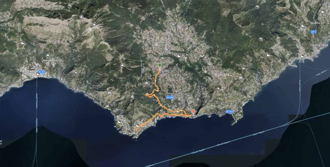
Meeting point at 9 am San Lazzaro (Agerola), Piazza Avitabile. Arrival to Bomerano, Piazza Capasso. 4h
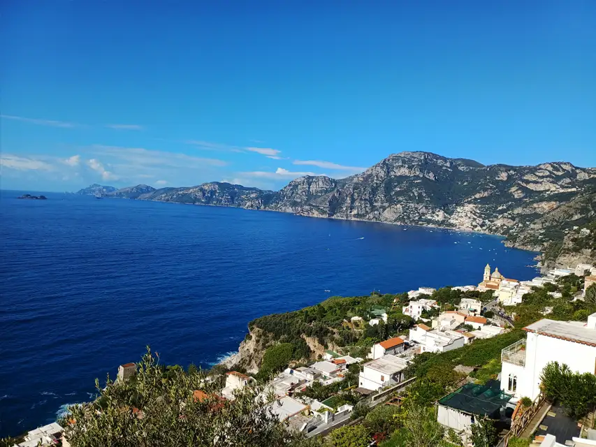
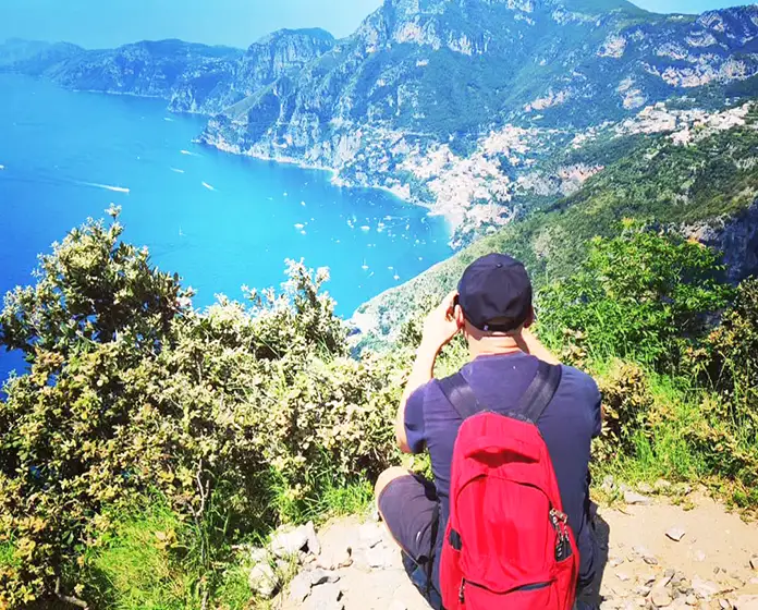
A pleasant hike offering breathtaking views over the Amalfi Coast. The trail is fairly challenging and follows the “Abu Tabela” path, which connects Agerola to Furore and then continues to Praiano, passing by Punta Santa Croce and the Furore Fjord.
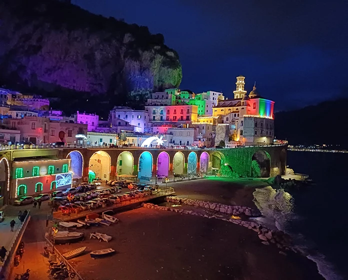
The path overlooks the Gulf of Salerno and the most ancient villages of the Amalfi Coast, passing the famous beaches of the Fjord and Marina di Praia. We’ll pass near the picturesque Church of San Luca (Praiano).
Following the monorail trail, we’ll reach Colle la Serra; from there, by walking a short stretch of the Path of the Gods, we will arrive in Bomerano. .
To book, fill out the form on this page
Equipment necessary: sport shoes, trekking poles, hat, sunscreen, sunglasses, water 1 litre, light lunch, snacks, or fruit
The hiking guide reserves the right not to admit to the excursion those who do not prove to have the necessary physical, technical or clothing requirements. To change the paths in case of unexpected or adverse weather conditions.
WATER SUPPLY: San Lazzaro..
Hiking Guide of Lattari Mountains Park - Candida Esposito
Trekking guide insurance (civil liability)
Price 40 euro per person Personalized prices for groups, and family up 6 person by e-mail.
Return right of withdrawal and cancellation the following conditions of withdrawal: in case of cancellation of the reservation, will be charged the following cancellation charges: cancellation within 48 h 50% refund; in case of cancellation within 24 hours before or same day no refund.
The hiking guide reserves the right not to admit to the excursion those who do not prove to have the necessary physical, technical or clothing requirements. To change the paths in case of unexpected or adverse weather conditions.
ATTENTION: In case of adverse weather forecast the excursion for this type of path will be replaced with the excursion "Praiano Hiking NaturArte". For more info and tips to better deal with this type of excursion, see the page on the website "Mountain Safety & Advice".
The CAI has defined a difficulty scale based on the following characteristics: the surface of the terrain, the length of the route, the difference in altitude and altitude, the exposure, any orientation difficulties.


You can write to us for any need, if you have doubts about the excursion or if you would like to organize one personalized for your needs, let's talk!
Hello!
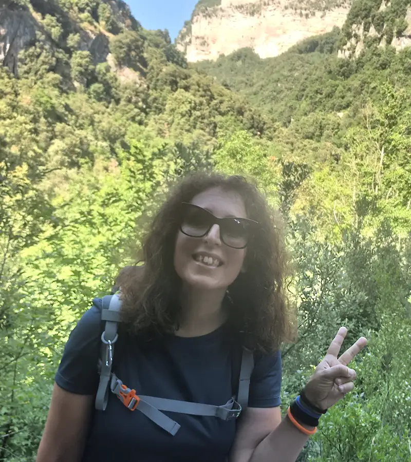
My name is Candida (Costa Natura Trekking) I am a trekking tour guide of the Regional Park of the Lattari Mountains.
I am a member of the CAI (italian alpine club) since 2022, Lega Ambiente, Slow Food Travel Amalfi Coast Community and Authentic Outdoor Amalfi Coast.
...


Proudly designed with CERBERUS INFORMATICA the amalfi coast visual website design.
